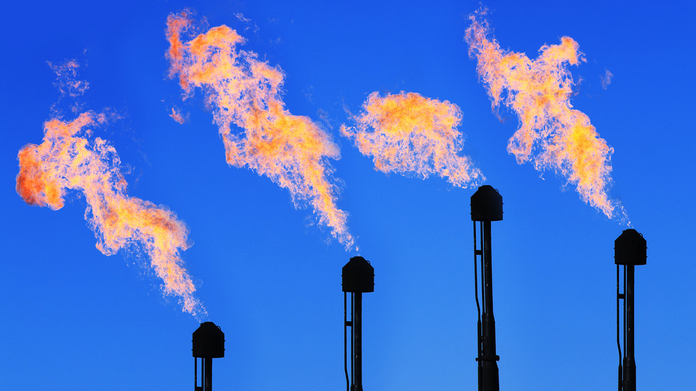
Quick control and monitoring for methane emissions
Fuse satellite imagery with ground sensor data for comprehensive coverage of all your assets with advanced analytics and predictive maintenance.

Satellite, IoT, and field sensors
Complete integration with all the sensors and analytics needed for a clear picture of remote operations

Asset and operations monitoring
Incident Location Identification
Constant monitoring of all assets and operations
Management by exception

Advanced analytics
Advanced analytics for predictive maintenance
Comprehensive intel for complete situational awareness
Intuitive, actionable intelligence for all users in your organization
Industry Voices
As the reopening and mitigation strategies continue to fluctuate and vary by local and state government, commercial operations continue to look for ways to navigate the changes and safely conduct business

Spatial Data Increases Operational Efficiencies for Energy Industry

New Methane “Heat Map” to Help Oil Companies Reduce Emissions


